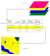
I georeferenced a street map of LSU to a raster screen shot mosaicked in Photoshop. I got RMS down to 1.8. Very nice map.
Very good presentation, learned a lot. It's possible to use building layer as well as street layer to georeference. Now I know what I was missing by relying on the ArcMap help screens.
Subscribe to:
Post Comments (Atom)


No comments:
Post a Comment