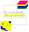
I've downloaded the LiDAR DEMs and contours for the study area. I have mosaicked the DEMs into one raster preparatory to running the ArcTools watershed analysis tools.
Next step - contact the NRCS people involved in the project planning and see what kind of land use or other data layers they might have that will be pertinent to the project.
Subscribe to:
Post Comments (Atom)


No comments:
Post a Comment