Jim Delahoussaye is giving a presentation at Vermilionville for their lecture series in mid-July. I'm working on expanding my class project to give him some maps he can use in the slide show about the Myette Point people.
I don't know why I couldn't figure out this feature of ArcMap last semester; I guess I was so panicked by the end of the semester that I wasn't paying attention.
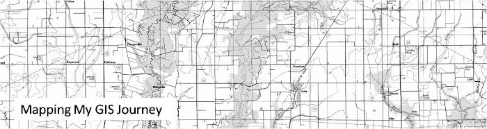
Anyway, I had previously used clipping in last fall's class, and while revisiting it a few days ago, I found that it is possible to clip a base map to the extent of a layer. This will effectively clip the map collars of the historic quads I'm using, and provide a nearly mosaicked map. I think I have all the quads of the study area in the 1935 edition, so I'm getting excited about working on it.
Subscribe to:
Post Comments (Atom)
No comments:
Post a Comment